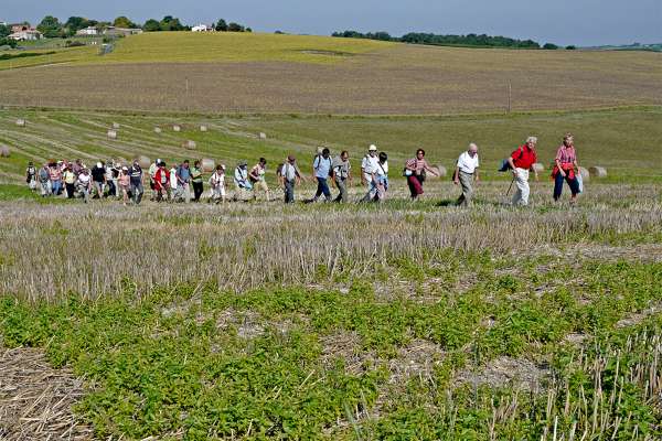
Discover the story of the crash landing of the B-17, with ten heroes of the 39-45 war on board, on an improvised airfield in the heart of La Champagne d'Expiremont and discover the Laurençanne trail, along the eponymous stream.
Category
Sport - Pedestrian sports
Itinerary
Type : BOUCLE, BALISE - distance : 13 Km
Détails : denivellationPositive : 57, denivellationNegative : 57, denivellation : 57
Possible support
Guide ou animateur : 1
pour Pedestrian sports, Hiking
More details
Leave the car park at the Halles de Chaunac, go up towards the cross and turn left at the crossroads (towards Chez Bardon). Stay on the road until you reach the Jauriac hillock. Go up and take the path on the right to see the explanatory panels and the panorama, and overlook the field where the B-17 crash-landed. Then retrace your steps to take the road to the right.
At the fork in the road, turn right until the intersection with the D253: turn right, then immediately left towards Tugéras-St-Maurice.
At Graveau, cross the bridge and go down to the right on the Laurençanne educational path (identification signs). At the intersection with the D153, turn left and then the first path on the right and after a little kilometre, at the intersection, turn right again to cross the stream.
Turn left onto the white track and join the D253: turn left, cross the Laurençanne again and take the first dirt track on the right for some 600m.
Then turn right, reach the lovely hamlet of La Brande, at the intersection, turn left to go to St-Maurice-de-Laurençanne.
Turn left at the first road, it winds up to the next intersection. Turn left and continue to the D153.
Turn right and take the first grassy track immediately to the right until the next intersection where you turn left to return to Chaunac.
A little history:
They were ten crewmen of the US 8th Air Force Bombardment Group 92 in the B-17 F-30-DL N°42-3186PY-Y, "the flying fortress", which landed on the plain of Expiremont on 31 December 1943.
To discover:
The Laurençanne trail is a short interpretation trail along the eponymous stream presenting some of the species found along the banks of the stream. Several explanatory panels help you to understand and appreciate the richness of this natural environment.
Opening times
All year round.
Special welcome
Walkers/hikers |
Level red – hard |
Environments
In the country Waterside Lakeside or by stretch of water
Services
Pets welcome
Equipment
Car park
Public WC