A sunny, hilly route with breathtaking views.
Category
Sport - Pedestrian sports
Itinerary
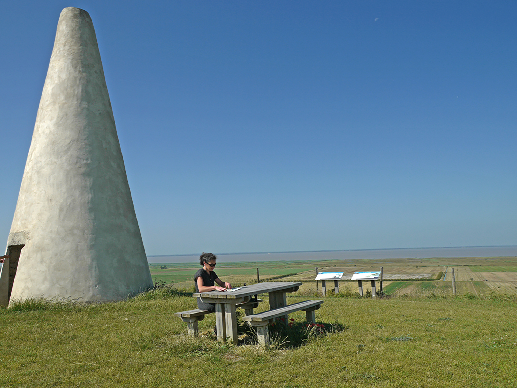
Type : BOUCLE, BALISE - distance : 9.18 Km
Détails : denivellationPositive : 127, denivellationNegative : 127, denivellation : 127
Possible support
Guide ou animateur : 1
pour Pedestrian sports, Hiking
More details
Departure from the Place de la Mairie, the circuit starts on the opposite side of the road from St-Dizant-du-Gua by the street which continues after the square to become a rocky path.
At the crossroads of Quatre chemins, turn left and go up towards the wooded hillside of La Faucharderie.
Turn left for 50m then right to cross the village of Civrac.
Go down to the left between the vineyards until you reach the hamlet of La Rit. Turn right, then left again towards La Crèche, then right towards Beaumont.
In the hamlet, follow the path at the foot of the hill alongside the estuary and marshes to St-Romain-sur-Gironde.
Follow the road opposite the marshes for 300m and leave it by a path that goes to the left for 600m.
Turn left and then 50m further on, turn right between the crops.
After 1km at the top, follow the path to the left until Cchez Péguin (700m), then turn right towards Chez Dolet: on the way down, there is a beautiful view over St-Fort-sur-Gironde.
To discover:
The blackbird, a small passerine whose subspecies "namnetum" is adapted to the coastal marshes.
The Tower of Beaumont reminds us that in the past a small Roman port was located in the village of Beaumont. In the 16th century, the silting up of the Gironde made navigation impossible, so the port was moved closer to the estuary, taking the name of Port Maubert. The old port of Beaumont was called Port-Neuf, hence the name of the road at the foot of the hill. Today, the tower is still used as a "bitter".
Opening times
All year round.
Special welcome
Walkers/hikers |
Level bue - Medium |
Environments
In the country Waterside Riverside
Services
Pets welcome
Equipment
Car park